The SiAR website It allows the consultation and download of agrometeorological data with an average hourly, daily, weekly, or monthly frequency from one or more stations. In addition to data consultation, the user can obtain an estimate of the net irrigation requirements of crops, taking into account only climatic conditions and crop type, calculated from the data of the selected station. Furthermore, a prediction of net irrigation requirements is offered based on ET0 and precipitation forecast data provided by AEMET (Spanish State Meteorological Agency).
The website also includes features for renewable energy in irrigation, agrometeorological events, and data reports.
The website also allows registered users to create, save and manage queries and data downloads that they can receive automatically and that they can customize within their private space “My SiAR”.
The data can have multiple uses and is not only used by agricultural professionals. In addition to these uses, the data can be used by companies that create new products and services based on data from the SiAR.
SiAR Space
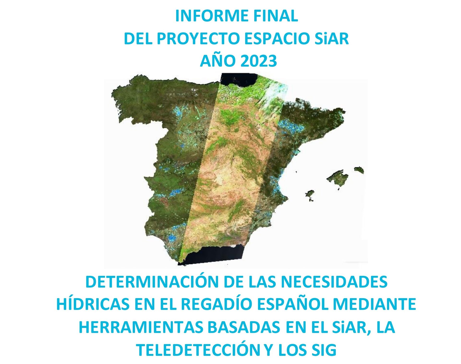
In this space The data from the SiAR network's agrometeorological stations, located in the main irrigated areas, is integrated with the temporal sequences of images from the Landsat 8, Sentinel 2A and Sentinel 2B satellites, with the main objective of monitoring crops by remote sensing to determine the water needs of the crops as accurately as possible, in order to use the necessary water at the right time.
All products and services generated by the ESPACIO SiAR project can be consulted freely and without charge:
Time sequences formed by multispectral images taken by the Landsat 8 (L8), Sentinel – 2A (S2A) and Sentinel – 2B (S2B) satellites, in order to monitor irrigated crops in the field by means of:
a) Vegetation indices (NDVI)
b) Color images (RGB)
c) Basal crop coefficient (Kcb)
Annual map of irrigated land use: Shows the vegetation cover (cultivated areas per season) within the perimeters of those irrigable areas.
Monthly and annual sequence of thematic maps of irrigated areas.
a) Agroclimatic variables of evapotranspirative demand (ETo) and precipitation (P)
b) Components of the soil water balance assisted by remote sensing and integrated with the SiAR network such as crop evapotranspiration (ETc) and irrigation water requirements (R).
Information from previous monthly sequences spatially aggregated to irrigable areas of interest such as: hydrographic demarcations updated to the new river basin hydrological plans.
Location of SiAR stations and consultation of the latest data recorded by each of them.
Cartographic information of interest such as SIGPAC enclosures, as well as guided and coordinate search.
Generation of graphs by points or enclosures, measurement of distances and surfaces and weather forecasting.
API Siar
This tool allows users to schedule and automate access to SiAR data directly from its data server, with great flexibility and autonomy. This service facilitates the download and processing of information, enabling users to connect to the MAPA (Spanish Ministry of Agriculture, Fisheries and Food) to query data from SiAR agrometeorological stations of interest.
Registration in API SiAR is done through the SiAR website.
SiAR app
The SiAR network offers the SiAR app for mobile devices, which allows for irrigation scheduling by calculating the water requirements of 104 different crops. The app uses evapotranspiration values calculated from data provided by the nearest SiAR network weather station to the user's plot, or one of their choosing, as reference values.
The app allows you to check:
Daily and weekly irrigation needs for the chosen crop
The water status of the plot
Agrometeorological data from the stations
The weather forecast for the next five days
NDVI, Kcb and RGB images, from the Sentinel 2A and 2B satellites, which allow monitoring of crop vegetation cover
The mission of SiAR is to optimize the use of water in irrigation, promoting its economic, social and environmental sustainability, by advising irrigators, providing them with relevant agroclimatic information and irrigation estimates, within the framework of the actions to promote rural development and compliance with environmental requirements carried out by the Ministry of Agriculture, Fisheries and Food.
The following is the latest final report “Determination of water needs in Spanish irrigation using tools based on SiAR, remote sensing and geographic information systems”, published in November 2024, and which is updated annually.